
Blog
Notes from the field.
Product releases, engineering deep-dives, and perspectives on the data behind smarter infrastructure decisions.
Featured
Company
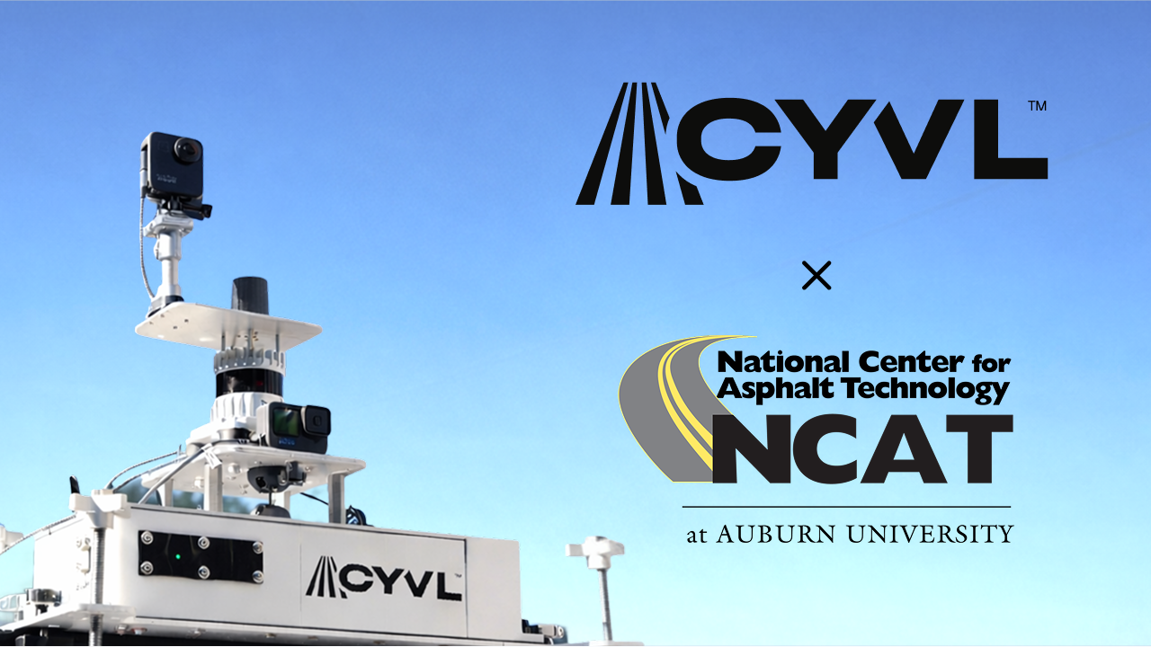
Our partnership with the National Center for Asphalt Technology
Independent validation from NCAT at Auburn University found CYVL's automated PCI scores differed from expert annotations by just 1.6 points on average — well within the ±5 tolerance defined by ASTM D6433.
Read the post →All posts
Product, company, and perspective.
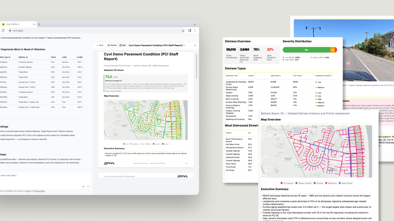
Introducing Executive Snapshots
The infrastructure condition reports your stakeholders ask for are now just minutes away. Pick a template, answer a few questions, and a report is built from your live data.
Read story →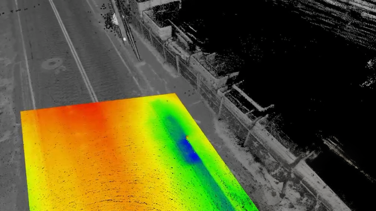
Our new and improved pointcloud viewer
February brought a completely rebuilt LiDAR pointcloud viewer with four new measurement tools — assess ADA compliance, analyze drainage, and verify sign dimensions without stepping foot outside.
Read story →
Our Public Works Assistant just got smarter
We kicked off 2026 with hyperlocal AI insights, distress-severity filtering, and a rebuilt mobile experience — value whether you're at your desk or in the field.
Read story →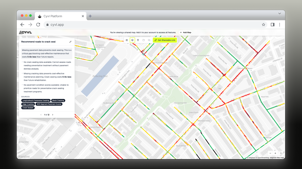
Smarter collaboration, clearer insights: map sharing, notes, and quick statistics
Three new features — map sharing with AI-generated executive summaries, map notes, and layer aggregates — give teams clearer information, in less time, with fewer steps.
Read story →
Rebuilding US infrastructure smarter and stronger
CEO Daniel Pelaez on how more accurate data combined with AI can help transform the built environment — and make the largest infrastructure investment cycle in seventy years count.
Read story →
Build a pavement management plan in minutes — without the price tag
A new guided workflow takes you from raw road scan data to recommendations to a polished, shareable plan in a fraction of the time — without spending months and thousands of dollars.
Read story →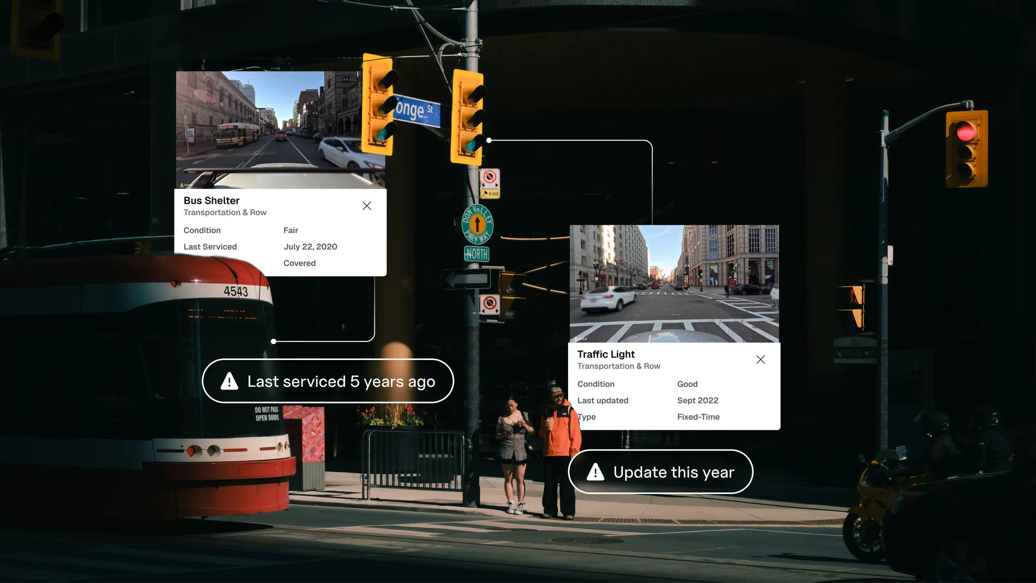
A revamped CYVL platform: smarter, more flexible, built for municipalities
A space where municipal teams can combine their own local data with CYVL's high-quality sensor data to unlock deeper, more actionable insights.
Read story →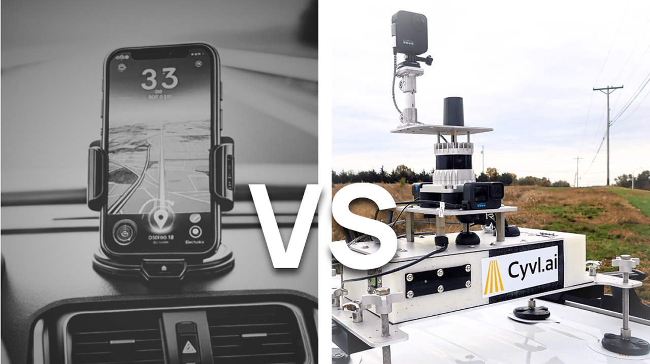
The precision gap: CYVL's RTK vs. smartphone GPS
Standard smartphone GPS hovers around 16 feet of accuracy. CYVL's sensor stack — LiDAR, high-resolution imagery, and RTK — refines that to roughly 3 feet.
Read story →