
The platform
Your infrastructure, always current.
I3 keeps a current record of every asset you manage: what it is, where it is, and its condition. Use it to plan, budget, and act from one shared view.

Watch
See how CYVL works.
See how a normal drive becomes current condition data, asset inventories, and a shared operating view.
How it works
From sensors to living ground truth.
Mount the sensor on a city vehicle, drive normal routes, and turn each pass into current condition data and asset inventory.

The sensor arrives ready to deploy.
The V3 rig arrives configured with LiDAR, 360° cameras, and GPS. No capital vehicle purchase or install crew required.

Mount it on a city vehicle.
Install the rig on a vehicle your team already drives, then run normal routes. Each mile becomes current network data.
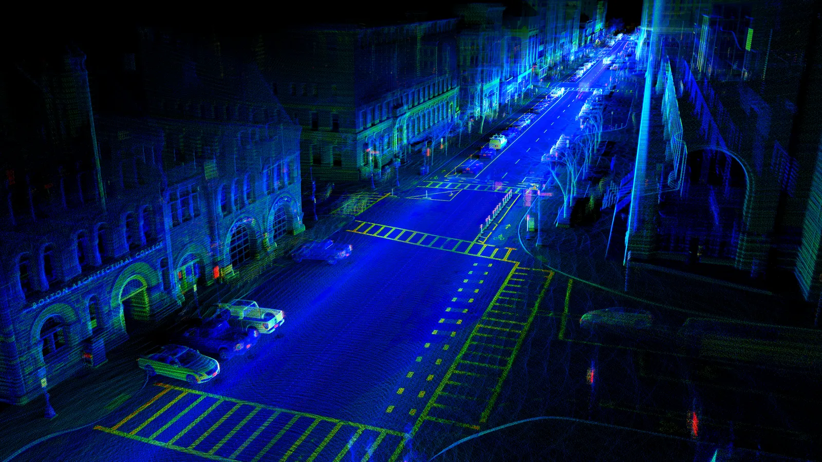
Each drive builds a precise digital twin.
CYVL turns LiDAR and 360° imagery into a centimeter-accurate model of roads, sidewalks, and visible assets across the right-of-way.

AI turns capture into usable inventory.
Pavement, signs, sidewalks, ADA ramps, markings, drainage, and streetlights are classified, measured, and scored across the whole network.
Plan and act from one platform.
View conditions, draft budgets, build multi-year plans, and generate work orders from one shared source of ground truth.

Inside the platform
One platform, every workflow.
Select a capability to explore
Your whole network on one map.
See every asset and condition on a single live map, filter distresses by severity, and jump to street-level imagery in a click.
Strategic benefit
Prioritize by condition instead of guesswork — filter to the high-severity segments and turn a budget ask into a map council can't argue with.
Tactical benefit
Toggle any layer — pavement scores, signs, markings, distress detections, your own GIS — and click any feature to verify it against the nearest street-level image.

The platform
One living data layer. Wherever your team works.
Web platform
A clear map and dashboard your whole team can use — no GIS degree required.
REST API
Pull living ground truth straight into your asset-management and capital-planning systems.
MCP server
Let AI assistants query your infrastructure directly — answers, work orders, and checks on demand.
Agentic 3D tooling
Agents query 3D geometries and point clouds directly.
Only-vendor proof
Built full where others fall short.
“Right now we’re raw-dogging it with an iPhone camera… that data is garbage.”
| Vendor | Accuracy | Refresh | Coverage | Scale |
|---|---|---|---|---|
| CYVL | ||||
| LCMS survey van | — | |||
| iPhone / dashcam | ||||
| Manual survey | — | — | — |
In their words
Built for the teams responsible for the network.
“You guys saved me three or four years of collecting assets — in one run.”

“The CYVL data is a lot better than me driving around saying, 'yeah, this road's fine.'”
