Case studies
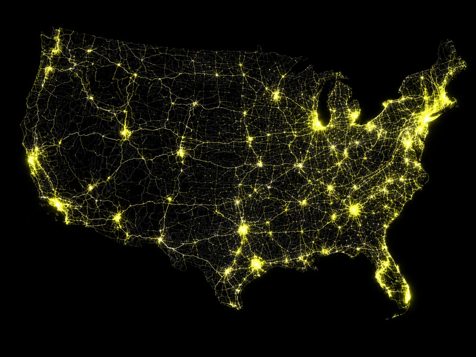
Hundreds of governments run on CYVL ground truth.
From major DOTs to small rural towns, agencies across 30+ states use CYVL to assess their networks, plan capital work, and defend every dollar they spend.
Featured case study
How Buffalo turned data into a campaign promise kept.

Challenge
The “Pave It!” paving promise ran on sampled, outdated records — no way to show crews where the worst roads were.
Solution
CYVL scanned every street with survey-grade LiDAR and 360° imagery, auto-scoring each segment into one always-current citywide view.
Results
A data-backed paving plan: every street accounted for, repairs prioritized by real condition, and spending the city can defend.
All case studies
Different agencies. The same ground truth.

A campaign promise, kept with data
Mayor Sean Ryan's “Pave It!” initiative made road quality a citywide priority. CYVL gave the DPW the ground truth to execute it.
Read case study →
From gut feel to a science-based paving program
La Grande set paving priorities on experience — until a council question exposed the gap. Now every decision is tied to objective PCI the city can defend.
Read case study →
Years of fieldwork, captured in a single run
Building a complete asset inventory the traditional way would have taken Takoma Park years. CYVL captured it in one drive.
Read case study →
Turning condition data into a revenue engine
Beverly's infrastructure knowledge lived in silos. Now one current source of truth powers a permit program — and ward-level reporting the council can see.
Read case study →
Holding developers and utilities to the data
A fast-growing city, Casa Grande keeps 358 miles current with three scans a year — and settles condition disputes with data instead of debate.
Read case study →
Stretching every paving dollar 4X further
A fast-growing suburb facing a pavement-lifecycle crunch got its first objective, citywide condition baseline — and reshaped its capital plan around it.
Read case study →The cities running on CYVL


In their words
Trusted by the teams who use it every day.
“You guys saved me three or four years of collecting assets — in one run.”

“We present it as a pure, unbiased opinion. The program picked it out, not us.”

“If we have data to back up our decision, that's something residents can't argue against.”

“The CYVL data is a lot better than me driving around saying, 'yeah, this road's fine.'”
