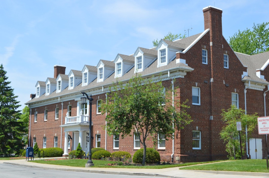
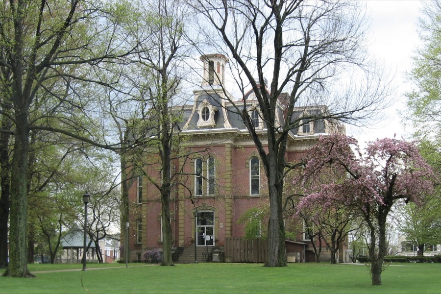
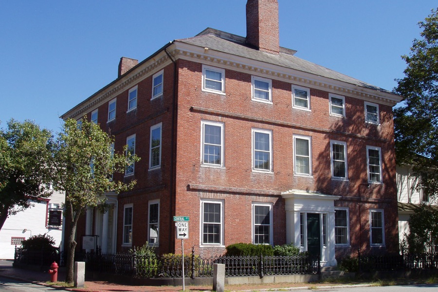
One inventory of what lines your streets, from the same drive.
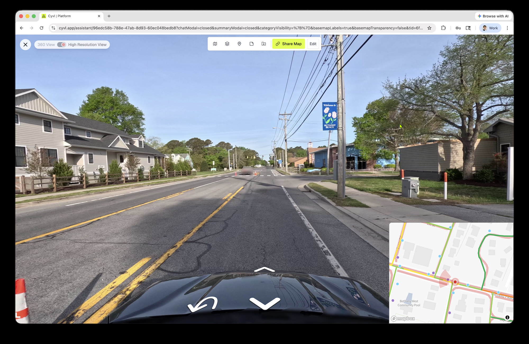
Cyvl maps the streetlights, poles, signals, hydrants, catch basins, guardrails, and trees along every street, each with a photo and a location.
- 16
- kinds of roadside assets mapped today
- 1 drive
- with your pavement and sign surveys
- $100K
- credit Sylvania won from its utility with its streetlight count
What you get
What you own, in one place
Streetlights, utility poles, traffic signals, hydrants, manhole and valve covers, catch basins, guardrails, and trees.
A photo and a location
Each asset as a point or line on the map, with the street photo it came from.
A 3D view of every street
Measure distances and heights at your desk instead of in the field.
Ready for your GIS
Shapefiles for every layer, ready for ArcGIS or QGIS.
We ended up getting about $100,000 credit back from Toledo Edison because they couldn't tell us how many street lights we owned.
Read the Sylvania, OH case study
Questions cities ask
Which assets come standard?
It depends on your contract. Common choices are signs, sidewalks, curb ramps, markings, manholes, hydrants, trees, and catch basins.
Do you rate the condition of these assets?
Most assets come with location and a photo. Condition is available for some, such as signals and signal poles.
Can you tell us which streetlights are out?
No. We map every streetlight, but we don't monitor whether it's working.