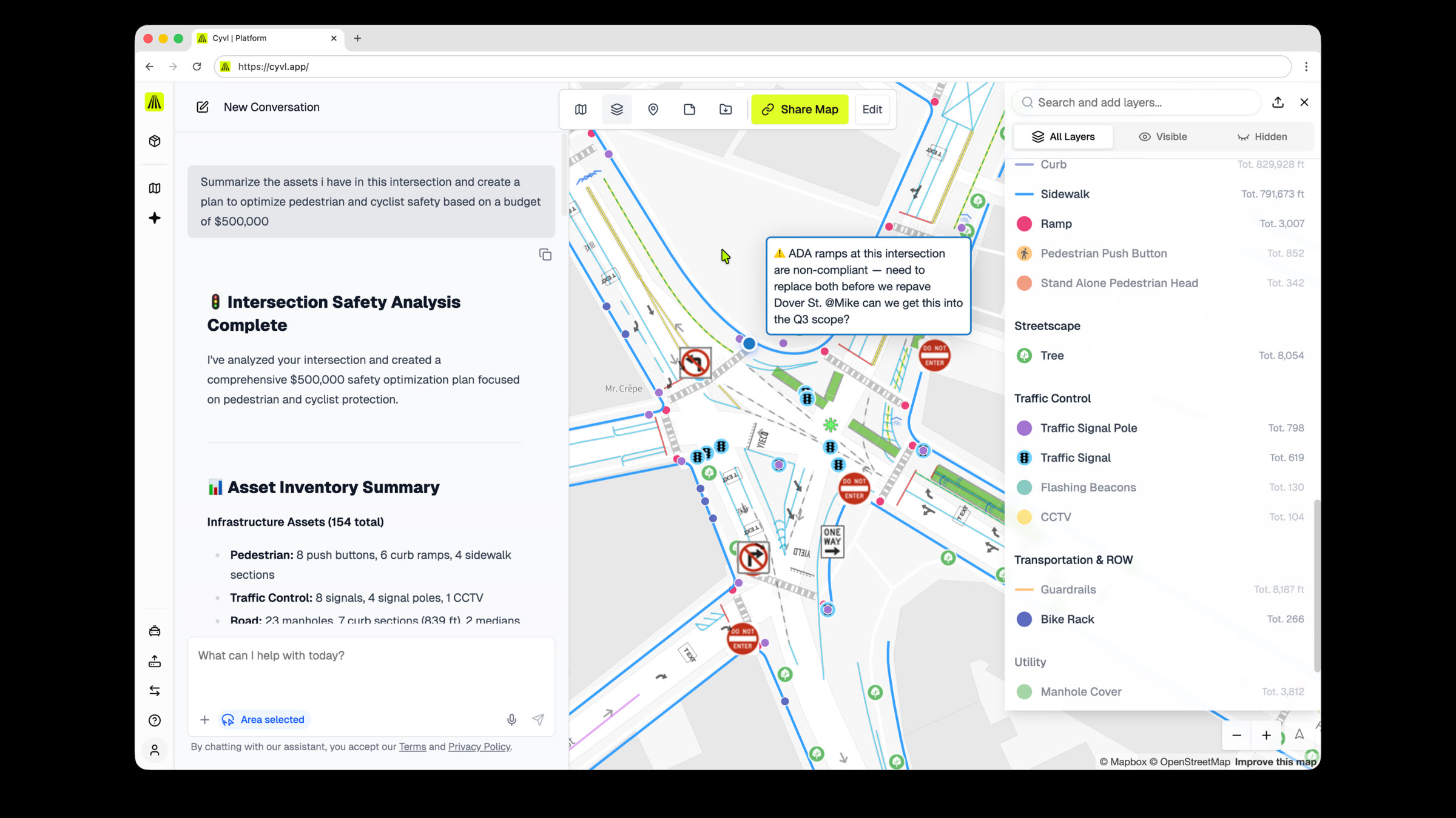
Ask a question about your streets. Get the answer, the map, and the source.
Type a question like “which roads in Ward 3 need paving?” and get the answer with the map, the list, and the records it came from. No GIS skills needed.
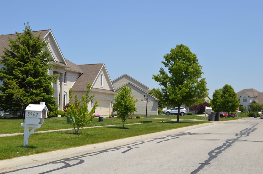
- 311
- poor signs one township found among 7,000 with one question
- 0
- GIS skills needed to ask
- Any area
- you draw, from a corridor to a grant boundary
What you get
Answers with sources
Every answer shows where it came from: the layer, the project, and the date the data was collected.
The map follows along
The map moves to the answer and keeps it as a layer. Results open as tables you can sort.
Standards on hand
It looks up and quotes published standards like the MUTCD and ASTM.
Take it anywhere
Export any answer to a shapefile or GeoJSON for ArcGIS or your own tools.
We're not just making things up out here and spending tax dollars on the whim.
Read the Sylvania Township, OH case study
Questions cities ask
Where do the answers come from?
From your own data, with numbered sources and collection dates on every answer.
Can I use the numbers in a council report?
Yes, and the sources make them easy to check. For high-stakes numbers, spot-check the records behind them.
Can we get results into ArcGIS?
Yes. Export any answer's table as a shapefile or GeoJSON.