
AI for potholes · finally
Infrastructure at the speed of software.
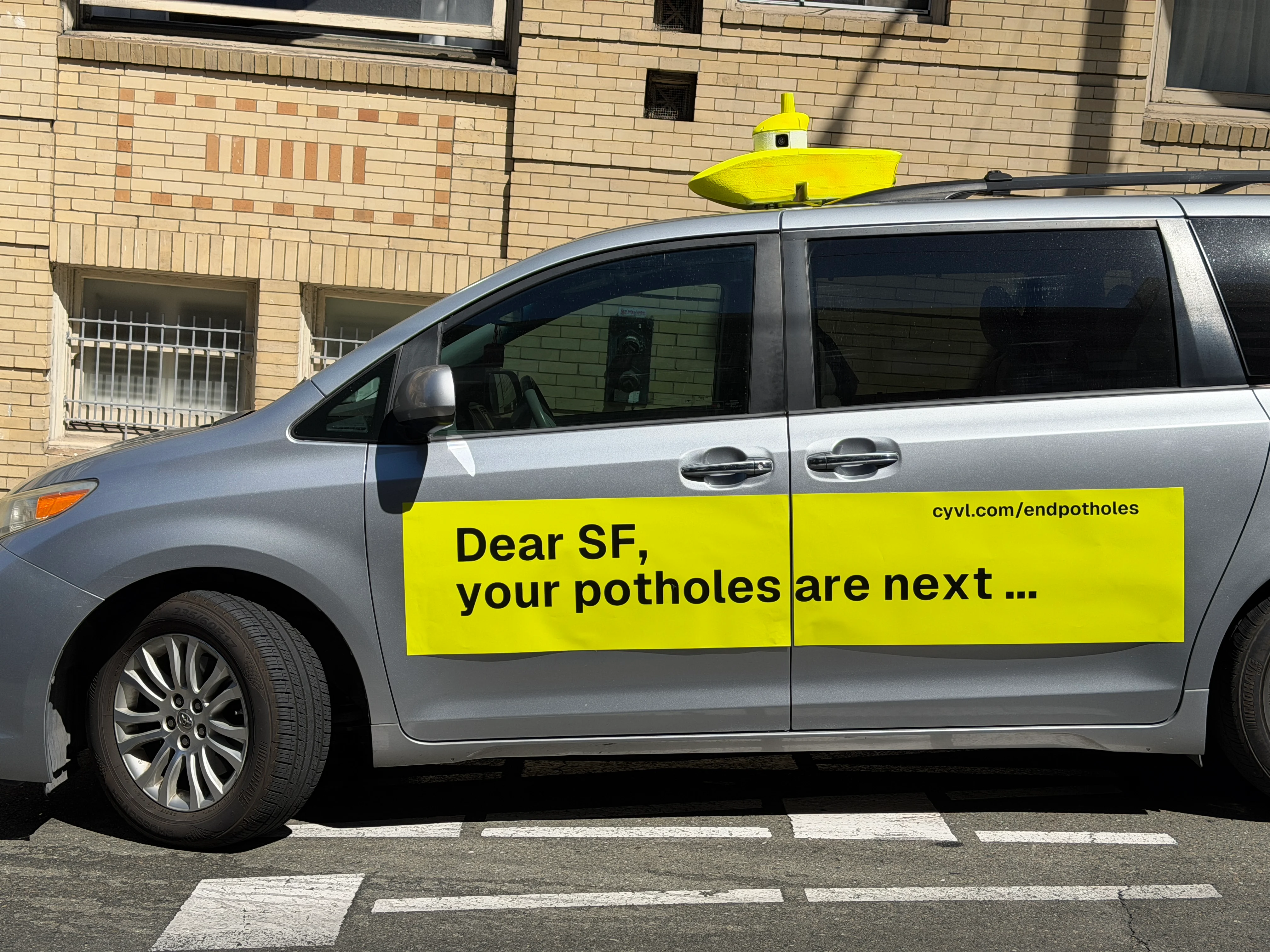
That roof sensor is helping hundreds of cities build and maintain streets and sidewalks better, faster, and for less.
CYVL · San FranciscoPhysical AI · On the street
The ground-truth data layer
Physical AI, already at work.
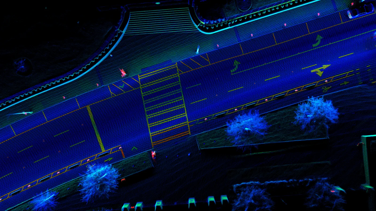
CYVL uses LiDAR, cameras, and AI to show cities what needs attention and what to fix first.
Street capture · Point cloudAssets · Condition · Dimensions
Hundreds of cities are already building better, faster, and for less.
New York
New York
Nashville
Tennessee
Atlanta
Georgia
Bakersfield
California
San Francisco, your potholes are next.
See every street. Fix the right problems first. Show residents what changed.
Physical AI for infrastructure
Scan every street. Plan the work. Prove what changed.

01 · Scan
See every street
A roof sensor captures roads, sidewalks, and street assets while the vehicle drives.
02 · Decide
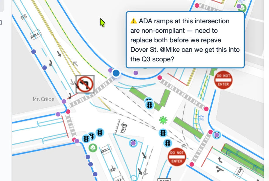
Know what to fix first
Physical AI turns each drive into maps, condition scores, priorities, and budgets.

03 · Improve
Build and prove the result
Cities complete the work, scan again, and show what changed.
Send this to the group chat
The physical world is ready for software speed.
Share this with someone building the future of Physical AI.